Every day, every UAP site, every sensor we can pull from.
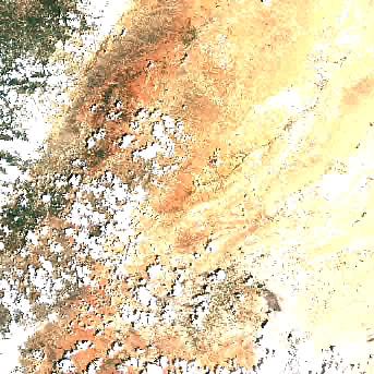
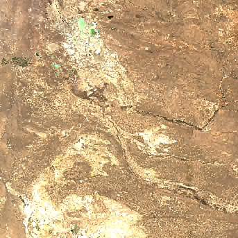
Free, public-domain satellite imagery covering every named UAP incident location in the PURSUE files — Sandia, Lake Huron, Eglin, Hormuz, Iran, Syria, Iraq, Persian Gulf, Papua New Guinea, and more. Sentinel-2 at 10 m, MODIS Terra and Aqua at 250 m, VIIRS NOAA-20 and Suomi-NPP at 375 m. Plus NASA Earth Observatory's curated Image of the Day, and a daily full-disc true-color mosaic of Earth. Never-delete archive: every capture stays forever on our object storage.
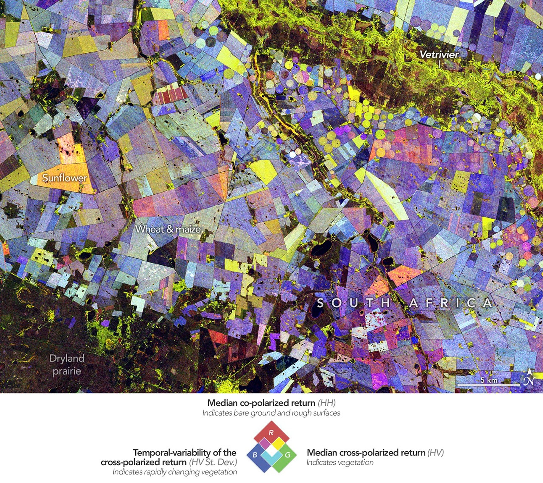
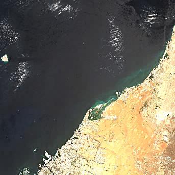
UAP incident sites
Click any tile for the daily multi-sensor scrubber






Data sources — all free, all public domain
L2A surface reflectance via Earth-Search STAC on AWS. Best free hi-res available.
source ↗Two passes per day from the workhorse climate-record sensors
source ↗NASA's hand-picked daily image with full scientific writeup
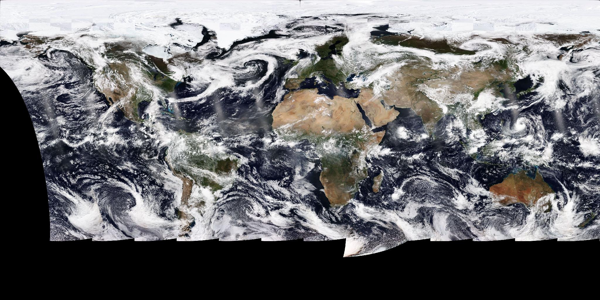
source ↗Full-disc VIIRS true color of the entire Earth, every day
source ↗GOES-16/18 5-minute geostationary feed, Sentinel-1 SAR (all-weather radar), Landsat 8/9 — coming in v2